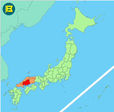
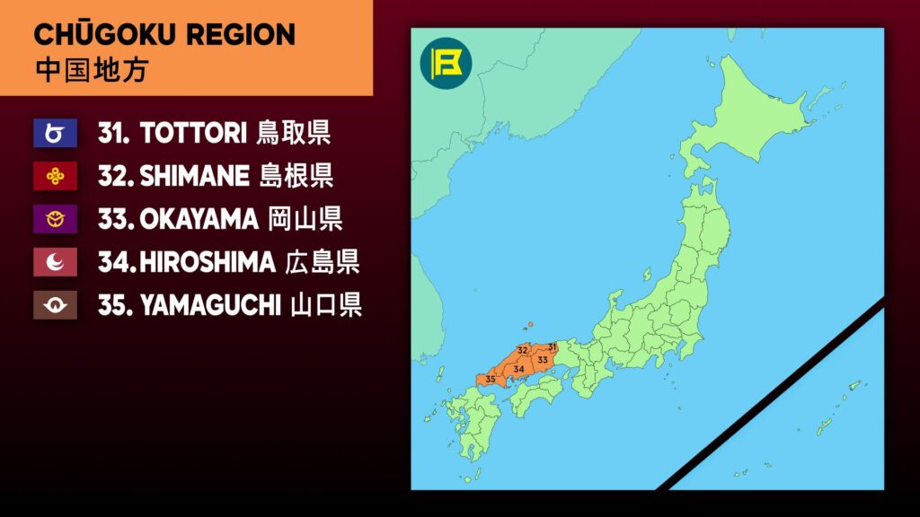
Hiroshima Prefecture is located in the Chūgoku region of western Honshu, facing the Seto Inland Sea. It covers about 8,479 km², making it the 11th largest prefecture in Japan by area.
Hiroshima is bordered by Okayama to the east, Shimane to the north and Yamaguchi to the west. The southern part of the prefecture consists of coastal plains and islands in the Inland Sea, while the northern interior is more mountainous, forming part of the Chūgoku Mountains.
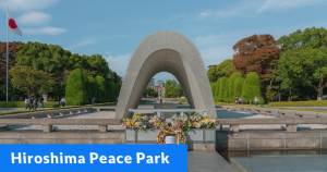
The capital is Hiroshima City, with a population of around 1.2 million. The total population of the prefecture is approximately 2.8 million. Other major cities include Fukuyama, Kure, Onomichi, and Mihara. Tourism sites include the Atomic Bomb Dome and Peace Memorial Park.
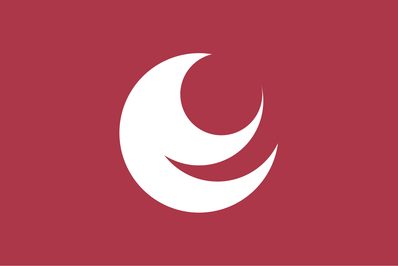
The flag of Hiroshima was adopted on 16th July 1968. It features a white stylized Katakana character of Hi (ヒ) of Hiroshima on a wine red field. The circular forms symbolize harmony and unity.
| Capital City | Area | 2025 Population |
| Hiroshima City | 8,479.63 km2 (3,274.00 sq mi) | 2,811,410 |
Japanese prefectural flag designs are used for educational purposes under fair use. Sources include public domain and freely licensed content.