
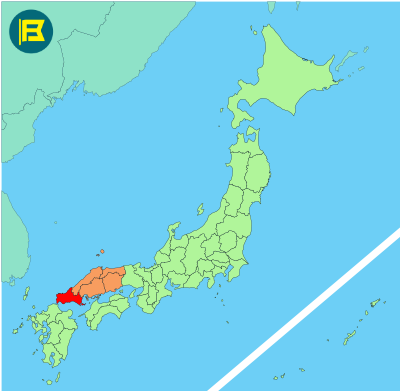
Yamaguchi Prefecture is located at the western end of Honshu in the Chūgoku region. It covers about 6,112 km², making it the 23rd largest prefecture in Japan by area.
Yamaguchi is bordered by Hiroshima Prefecture to the east. The prefecture faces the Sea of Japan to the north, the Seto Inland Sea to the south, and the Kanmon Strait to the southwest, which separates Honshu from Kyushu.
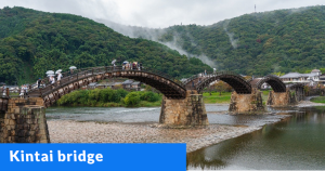
The capital is Yamaguchi City, with a population of around 190,000. Other major cities include Shimonoseki, Ube, Hofu, and Iwakuni. Tourism includes sites such as Kintai Bridge in Iwakuni and the historic townscape of Hagi.
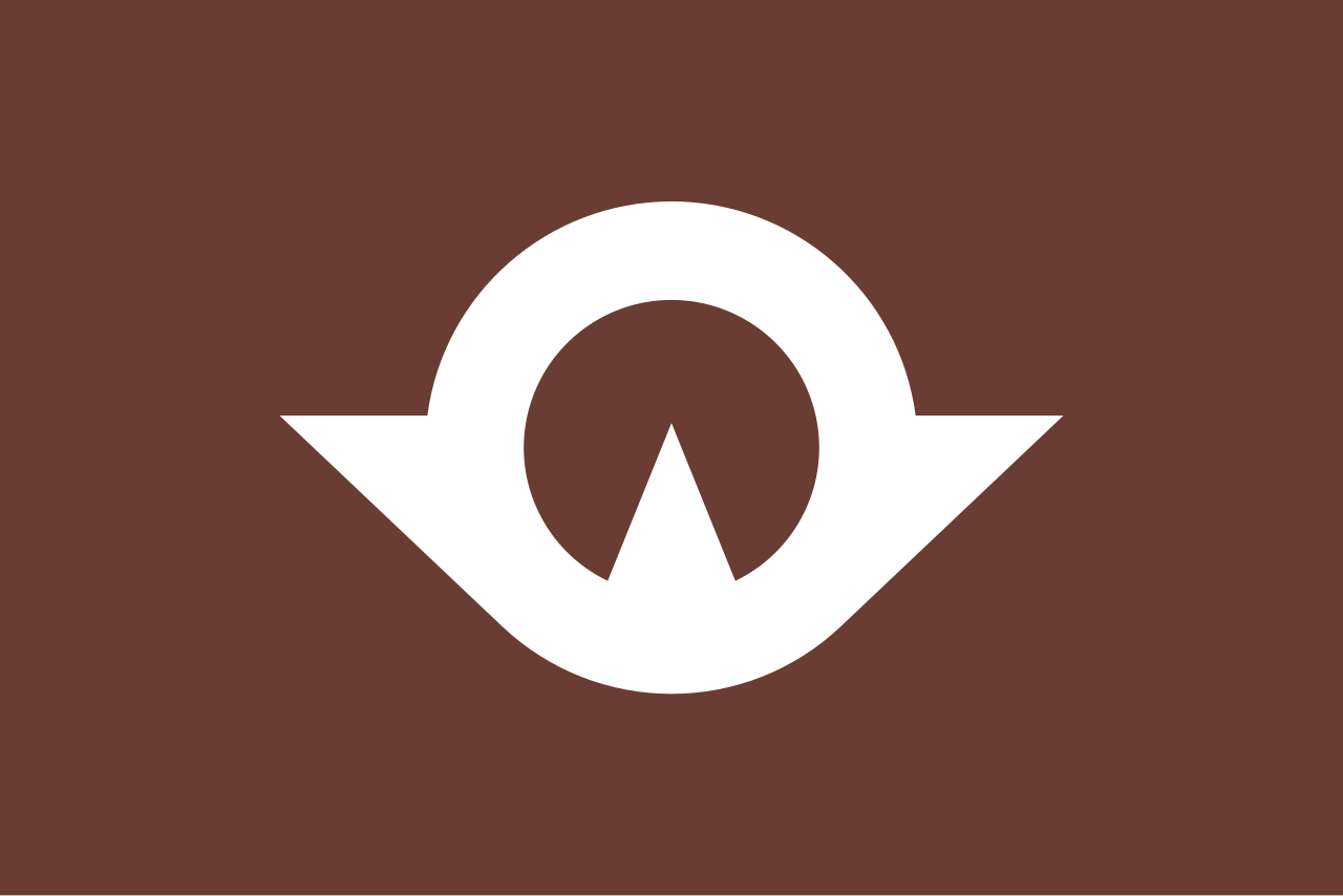
The flag of Yamaguchi was adopted on 3 September 1962. It features a brown field with a white stylized Kanji character “山” (yama meaning mountain) shaped like an Asuka bird fluttering towards the sun.
| Capital City | Area | 2018 Population |
| Yamaguchi City | 6,112.30 km2 (2,359.97 sq mi) | 1,377,631 |
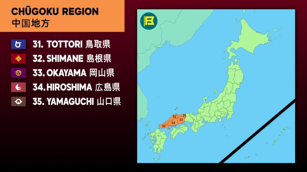
Japanese prefectural flag designs are used for educational purposes under fair use. Sources include public domain and freely licensed content.