
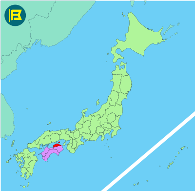
Kagawa Prefecture is located on the northeastern coast of Shikoku, facing the Seto Inland Sea. It covers about 1,876.8 km² making it the 47th largest prefecture in Japan by area.
Kagawa is bordered by Tokushima to the south and faces Okayama across the Inland Sea to the north. Its landscape consists mainly of low mountains, coastal plains and small islands.
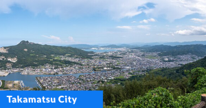
The capital is Takamatsu, with a population of around 420,000. The prefecture’s total population is approximately 950,000. Other major cities include Marugame, Sakaide, and Sanuki. Tourism highlights include Ritsurin Garden in one of Japan’s finest historic gardens.
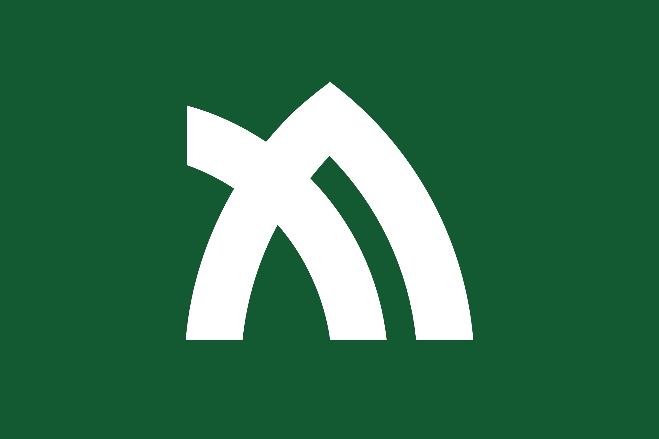
The flag of Kagawa was adopted on Oct 1st 1977. It features a green background with a white emblem representing ‘カ’ (ka) based on an olive leaf. The prefecture was the first place in Japan to successfully cultivate olives.
| Capital City | Area | 2020 Population |
| Takamatsu | 1,876.8 km2 (724.6 sq mi) | 949,358 |
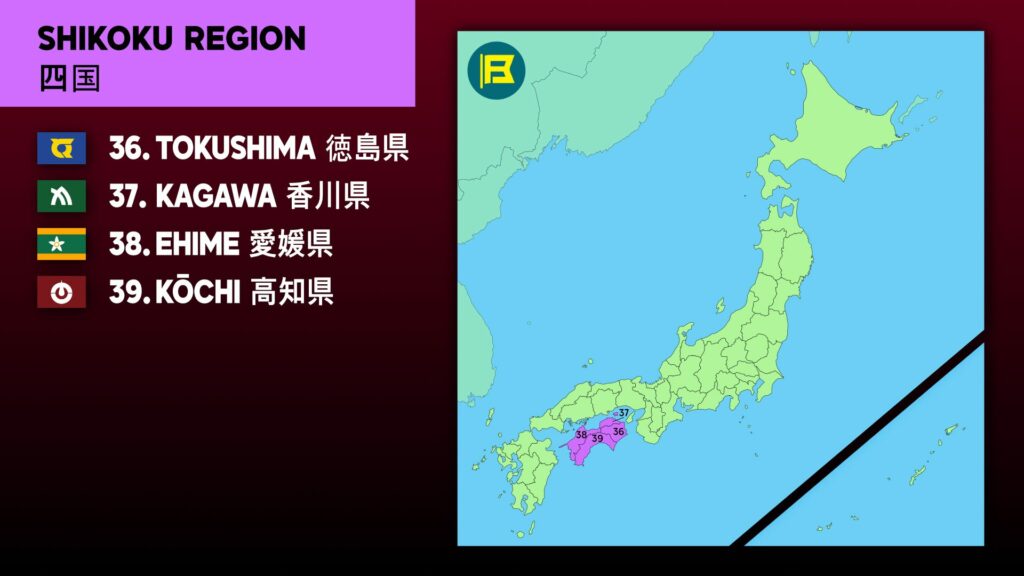
Japanese prefectural flag designs are used for educational purposes under fair use. Sources include public domain and freely licensed content.






One thought on “Kagawa Prefecture 香川県”