The Mount Rushmore State
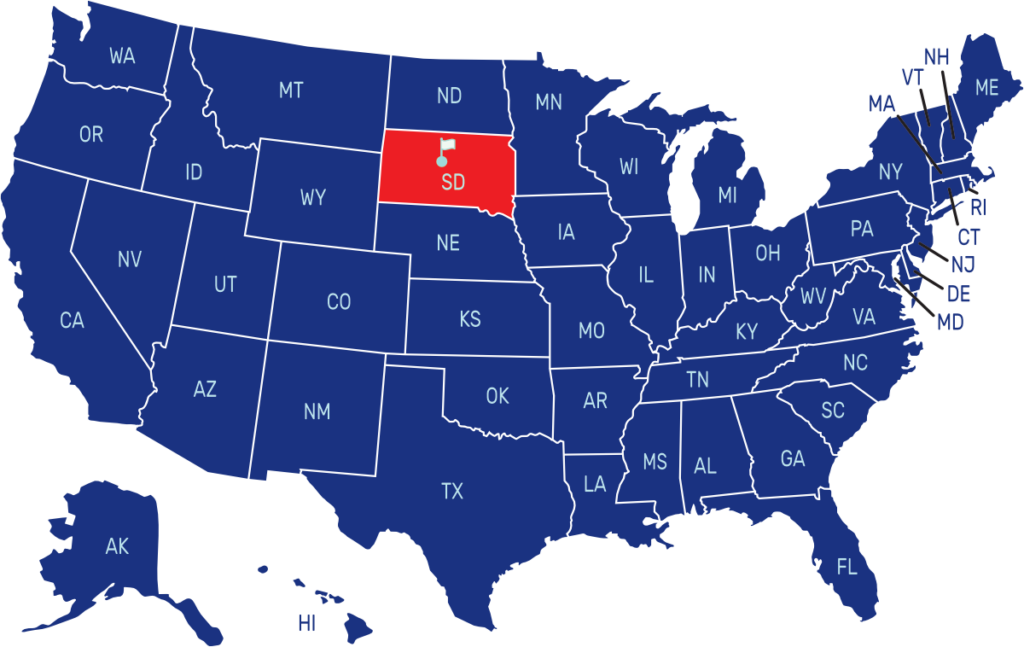
South Dakota is a state located in the Midwestern region of the United States. It is bordered by North Dakota to the north, Minnesota to the east, Iowa to the southeast, Nebraska to the south, Wyoming to the west, and Montana to the northwest. The capital city of South Dakota is Pierre, while the largest city is Sioux Falls.
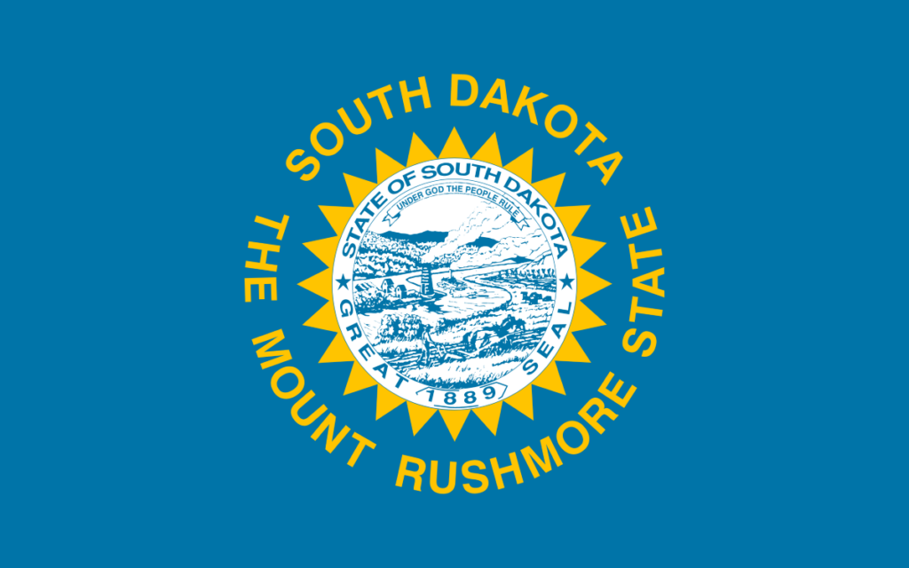
The flag of South Dakota consists of a sky-blue field with the state seal centered in the middle. The state seal features a landscape with hills, a river, and a farmer cultivating the land. The state name “South Dakota” and “The Mount Rushmore State” displayed in gold letters encircles the seal.
State Song: “Hail, South Dakota!”
Motto: “Under God the People Rule”
Where is South Dakota on the US Map?

| Capital | Date Admitted to Union | Population (State Ranking) | Area (State Ranking) | Flag Adopted |
| Pierre | November 2, 1889 (40th state) | Approximately 900,000 (46th largest) | 77,116 square miles (17th largest) | November 9, 1992 |

