The Lone Star State
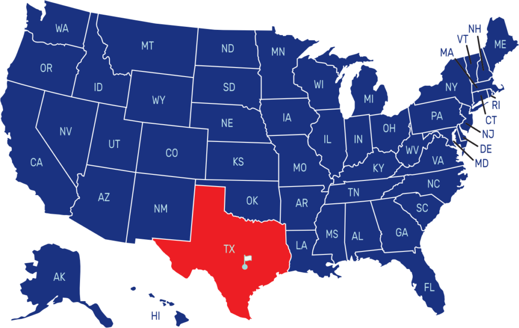
Texas is the second-largest state in the United States, located in the southern region. It shares borders with Louisiana to the east, Arkansas to the northeast, Oklahoma to the north, New Mexico to the west, and the Mexican states of Chihuahua, Coahuila, Nuevo León, and Tamaulipas to the south. The capital city of Texas is Austin, while the largest city is Houston.
The flag of Texas, known as the Lone Star Flag, features a vertical blue stripe on the left side with a single white, five-pointed star. The rest of the flag consists of horizontal stripes of white on the top and red on the bottom. The lone star represents Texas as an independent republic.
State Song: “Texas, Our Texas”
Motto: “Friendship”
Where is Texas on the US Map?


| Capital | Date Admitted to Union | Population (State Ranking) | Area (State Ranking) | Flag Adopted |
| Austin | December 29, 1845 (28th state) | Approximately 29 million (2nd largest) | 268,596 square miles (2nd largest) | January 24, 1839 |


