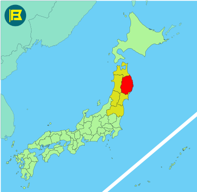
Iwate is located in the northeastern part of Honshu, within the Tohoku region. It is Japan’s second-largest prefecture by area, covering approximately 15,275 km².
Iwate is bordered by Aomori to the north, Akita to the west, and Miyagi to the south, with a long eastern coastline along the Pacific Ocean. Its inland area is marked by mountain ranges and river valleys.
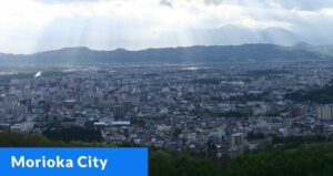
The capital and largest city is Morioka, while other major cities include Ichinoseki, Oshu, and Miyako. Iwate has a population of about 1.2 million, ranking 32nd in Japan. It includes part of the Ou Mountains and Kitakami River, one of the longest rivers in Japan.
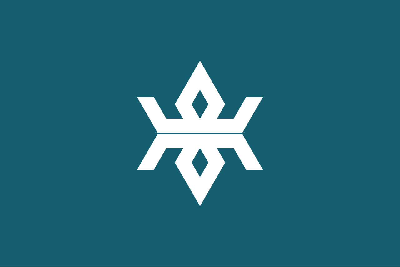
The flag of Iwate was adopted on March 6, 1965. It features a stylized vertically mirrored white symbol “岩” (iwa, from the prefecture’s name) on a grey-blue background.
| Capital City | Area | 2023 Population |
| Morioka | 15,275.01 km2 (5,897.71 sq mi) | 1,165,886 |
Japanese prefectural flag designs are used for educational purposes under fair use. Sources include public domain and freely licensed content.
