The Last Frontier
Alaska is a U.S. state in the extreme north west of North America. It shares borders with British Columbia and the Yukon in Canada. The capital city is Juneau and the largest city is Anchorage.
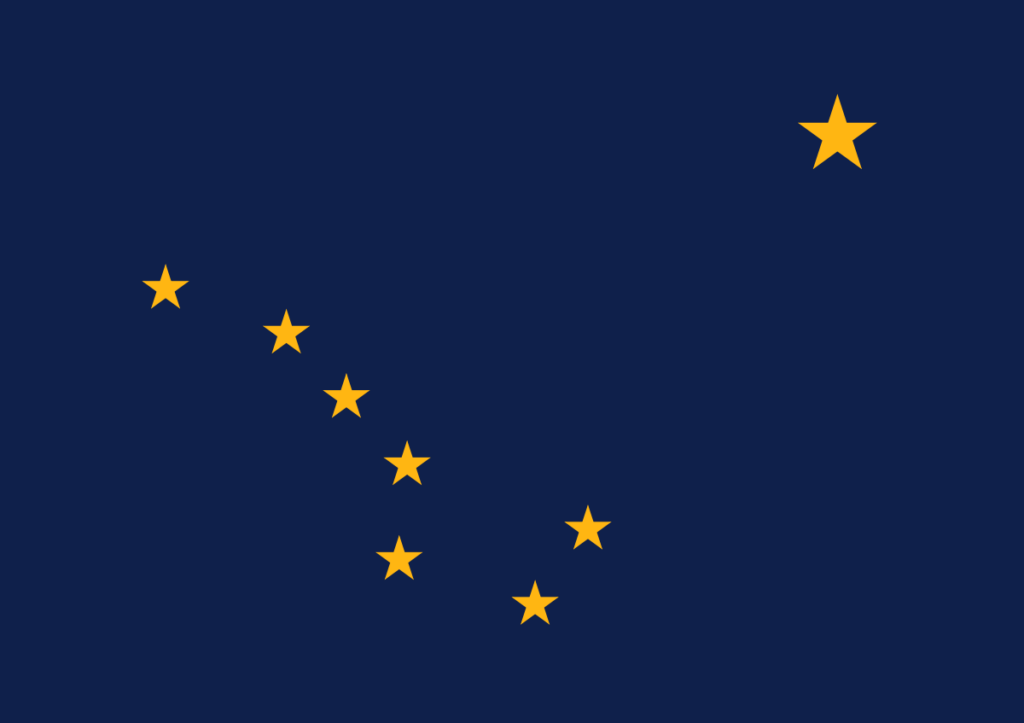
The flag of Alaska was adopted on May 2, 1927. The design features a blue background with seven five-pointed gold stars in a “big dipper” formation. A larger The North Star (Polaris) is at the top right of the flag
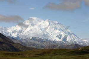
Its name comes from the Aleut word alaxsxaq meaning “the mainland,” is the largest U.S. state, spanning 663,268 square miles. Purchased from Russia in 1867, it became the 49th state in 1959. Known for glaciers and northern lights it is home to Denali, federally designated as Mount McKinley, North America’s highest peak.
State Anthem /Song: “Alaska’s Flag”
Motto: North to the Future
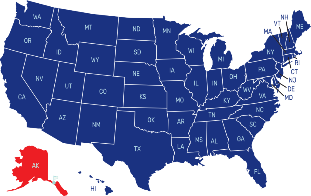
Where is Alaska on the US Map?
Alaska is at the north west of north america where it borders Canada. It has no borders with any U.S. State

| Capital | Date Admitted to Union | Population (State Ranking) | Area (State Ranking) | Flag Adopted |
| Juneau | January 3, 1959 (49th) | 736,081 (48th Largest) | 1,717,856 km² / 663,268 mi² (1st Largest) | 1927 |

