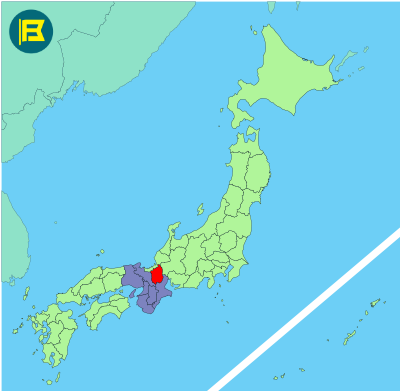
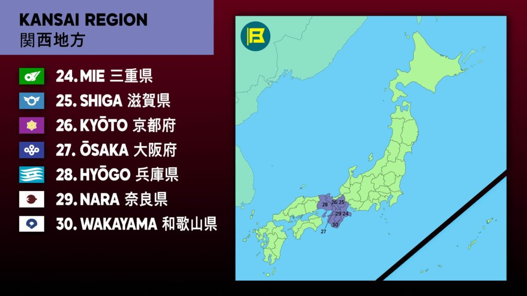
Shiga is an inland prefecture located in the Kansai region of central Honshu. It covers about 4,017 km², making it the 38th largest prefecture in Japan by area.
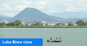
Shiga is bordered by Fukui to the north, Gifu to the northeast, Mie to the southeast, and Kyoto to the west. Lake Biwa, Japan’s largest freshwater lake, occupies one sixth of the total area.
The capital is Ōtsu, situated on the southwestern shore of Lake Biwa. Other important cities include Hikone, Nagahama, Kusatsu, and Moriyama. Shiga’s population is around 1.4 million. Landmarks include Hikone Castle, one of Japan’s few original Edo period castles.
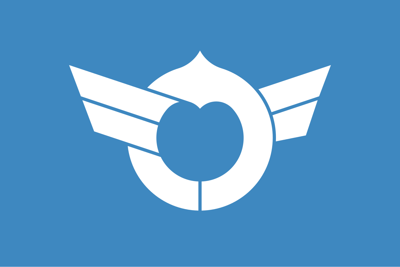
The flag of Shiga was adopted on 16 September 1968. It features a white stylized Katakana character of Shiga on a light blue field. The winged circular symbol represents Lake Biwa and harmony.
| Capital City | Area | 2025 Population |
| Otsu | 4,017.38 km2 (1,551.12 sq mi) | 1,412,916 |
Japanese prefectural flag designs are used for educational purposes under fair use. Sources include public domain and freely licensed content.

