The Mountain State
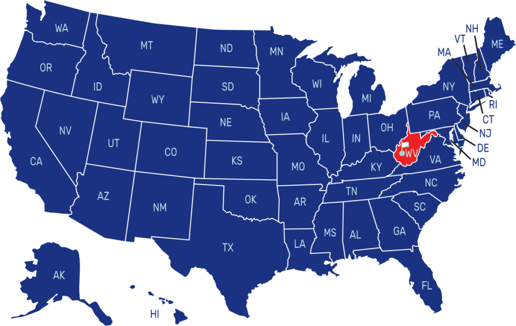
West Virginia is a state located in the Appalachian region of the United States. It is bordered by Pennsylvania to the north, Maryland to the east and northeast, Virginia to the southeast, Kentucky to the southwest, and Ohio to the northwest. The capital city is Charleston, while its largest city is Huntington.
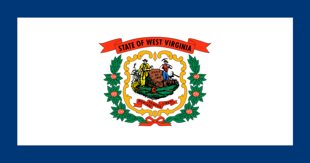
The flag of West Virginia consists of a white field with a blue border. In the center, there is the state’s coat of arms, which features the inscription “Montani Semper Liberi” (Mountaineers Are Always Free). Above the coat of arms, there is a red ribbon reading “State of West Virginia”
State Song: “The West Virginia Hills” and “West Virginia, My Home Sweet Home”
Motto: “Montani Semper Liberi” (Mountaineers Are Always Free)
Where is West Virginia on the US Map?

| Capital | Date Admitted to Union | Population (State Ranking) | Area (State Ranking) | Flag Adopted |
| Charleston | June 20, 1863 (35th state) | Approximately 1.8 million (38th largest) | 24,230 square miles (41st largest) | March 7, 1962 |

