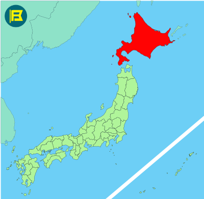
Hokkaido is Japan’s northernmost prefecture and the only one that also forms an entire region. It is the second-largest of Japan’s four main islands but the largest prefecture by area, covering approximately 83,454 km².
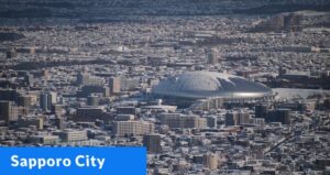
The island is surrounded by the Sea of Japan, the Sea of Okhotsk, and the Pacific Ocean, and is separated from Honshu by the Tsugaru Strait. Its population is the 8th highest in Japan. The capital and largest city is Sapporo, which has nearly 2 million residents.
The prefecture was formerly known as Ezo. The climate here is colder than the rest of Japan, with long winters and mild summers. Sapporo hosted the 1972 Winter Olympics. Other major cities include Asahikawa, Hakodate, and Kushiro.
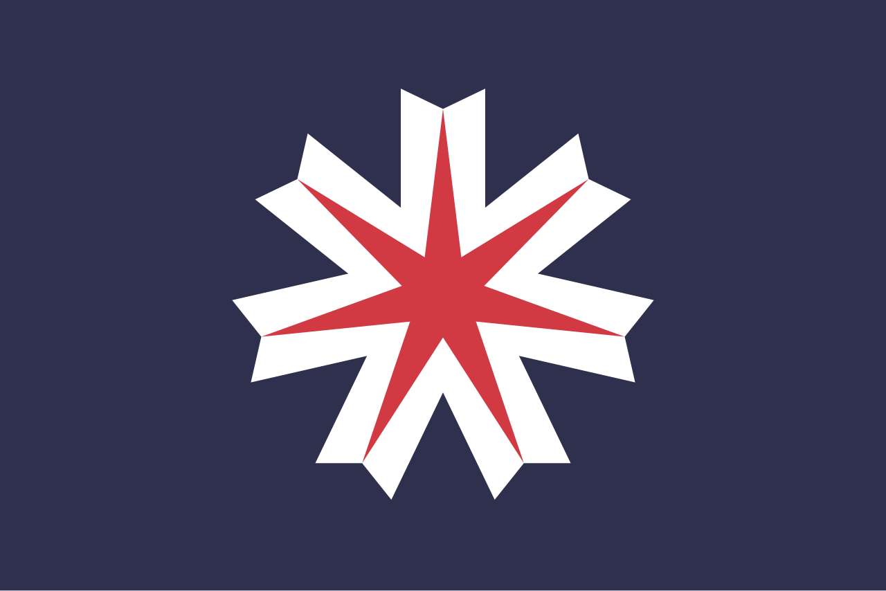
The flag of Hokkaidō was officially adopted on May 1, 1967. It features a red and white seven-pointed star at the center of a dark blue field. The star represents the spirit of the people, while the white stands for snow, and crisp northern winds. The deep blue background symbolizes the surrounding seas and northern sky.
| Capital City | Area | 2023 Population |
| Sapporo | 83,423.84 km2 (32,210.12 sq mi) | 5,111,691 |
Japanese prefectural flag designs are used for educational purposes under fair use. Sources include public domain and freely licensed content.