
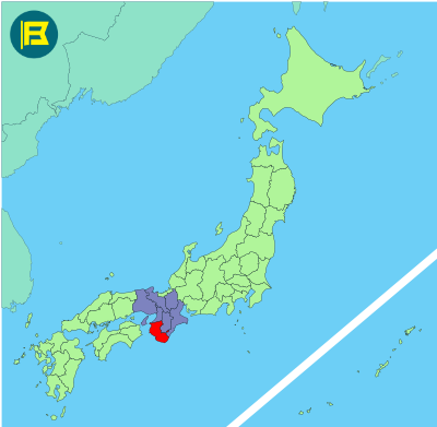
Wakayama Prefecture is located at the southern end of the Kansai region of Honshu. It covers about 4,726 km, making it the 30th largest prefecture in Japan by area.
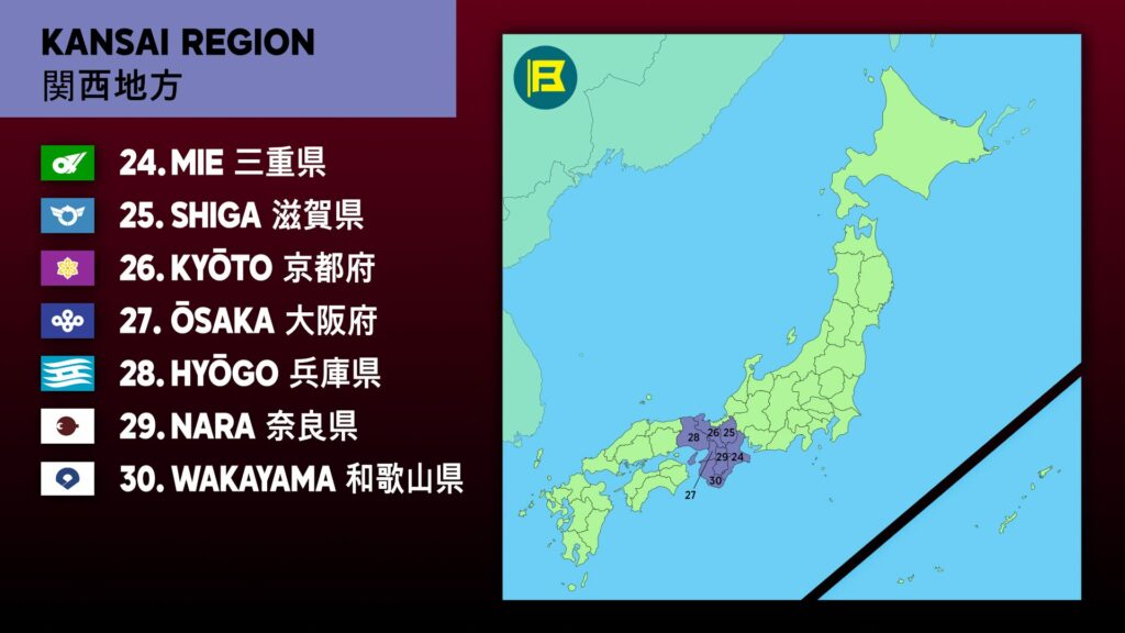
Wakayama is bordered by Osaka to the north and Nara to the northeast, while Mie Prefecture lies across the peninsula to the east. Much of the inland area is mountainous, especially around the Kii Mountain Range.
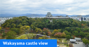
The capital, Wakayama City is located near the northern coastline. Major cities include Tanabe, Shingū, and Hashimoto. Strongly associated with Kumano, one of Japan’s most important spiritual regions, there are many pilgrimage routes and sacred sites here.
The flag of Wakayama was adopted on 23 October 1968. It features white field with blue stylized katakana character “ワ” (Wa), arranged in an opened fan shape representing the harmony of its people.
| Capital City | Area | 2025 Population |
| Wakayama city | 4,724.69 km2 (1,824.21 sq mi) | 876,030 |
Japanese prefectural flag designs are used for educational purposes under fair use. Sources include public domain and freely licensed content.

