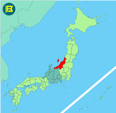
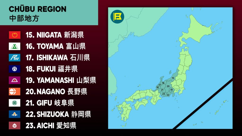
Niigata is located on the west coast of Honshu, facing the Sea of Japan. It is part of the Chūbu region and covers an area of about 12,584 km², making it Japan’s fifth-largest prefecture by area.
Niigata is bordered by Yamagata and Fukushima to the east, Gunma and Nagano to the south, and Toyama to the west. The prefecture stretches over 300 km along the coast and includes Sado Island, one of Japan’s largest offshore islands.
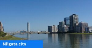
The capital is Niigata City, a major port with a population of about 780,000. Other main cities include Nagaoka, Jōetsu, and Sanjō. The total population is around 2.1 million, ranking it mid-sized among Japan’s prefectures. Much of the population is concentrated along the coastal plains.
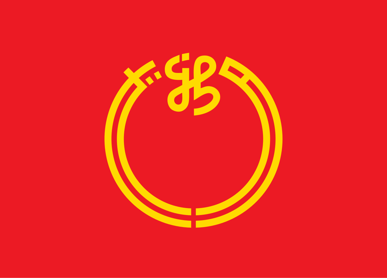
The flag of Niigata was adopted on June 1, 1964. It features a red field with stylized gold Kanji character of Ni ‘新’ of Niigata with ‘ガ’ (ga) to the left and ‘タ’ (ta) to the right. The circular design represents harmony and hope.
| Capital City | Area | 2023 Population |
| Niigata City | 12,584.18 km2 (4,858.78 sq mi) | 2,131,009 |
Japanese prefectural flag designs are used for educational purposes under fair use. Sources include public domain and freely licensed content.

