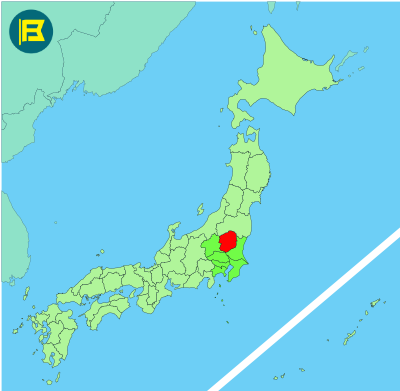
Tochigi is an inland prefecture located in the northern part of the Kantō region on Honshu. It covers about 6,408 km² making it the 20th largest prefecture in Japan by area.
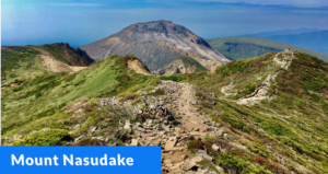
Tochigi is bordered by Fukushima to the north, Ibaraki to the east, Gunma to the west, and Saitama to the south. With no coastline it has a diverse terrain, from the plains in the south to volcanic mountains and forests in the north, including the Nikkō Mountains.
The capital is Utsunomiya, a modern commercial city with a population of about 500,000. Other key cities include Nikkō, Ashikaga, and Oyama. Tochigi’s total population is around 1.9 million and the area is well connected to Tokyo by the Tōhoku Shinkansen rail line.
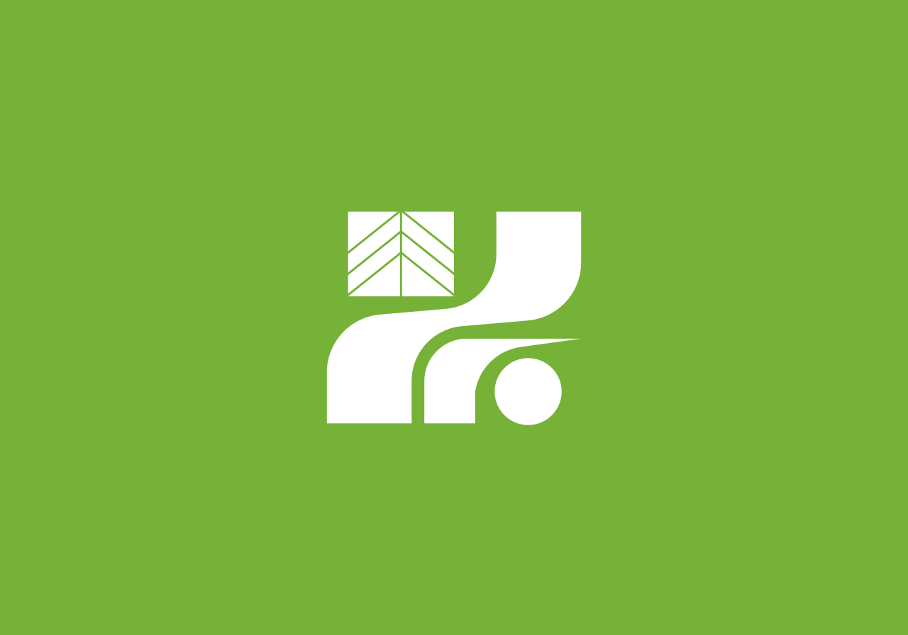
The flag of Tochigi was adopted on December 1, 1962. It features a stylized white kanji symbol ‘栃’ on a pea green background. The symbol of the tochi, the prefectural tree (horse chestnut) represents progress and action.
| Capital City | Area | 2023 Population |
| Utsunomiya | 6,408.09 km2 (2,474.18 sq mi) | 1,897,649 |
Japanese prefectural flag designs are used for educational purposes under fair use. Sources include public domain and freely licensed content.