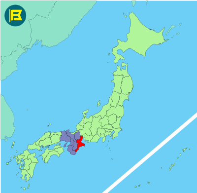
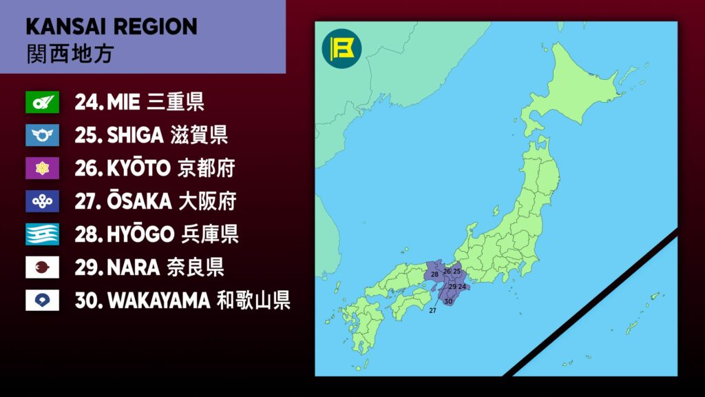
Mie is located on the Kii Peninsula in the Kansai region of central Honshu. It covers about 5,774 km², making it the 25th largest prefecture in Japan by area.
Mie is bordered by Aichi to the northeast, Gifu and Shiga to the north, Kyoto to the northwest, Nara to the west, and Wakayama to the southwest.
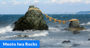
The capital city is Tsu. Other notable cities include Yokkaichi, Matsusaka, and Suzuka. The population is around 1.7 million. Mie is known for Ise Grand Shrine, Japan’s holiest Shinto shrine and the Meoto Iwa rock formation.
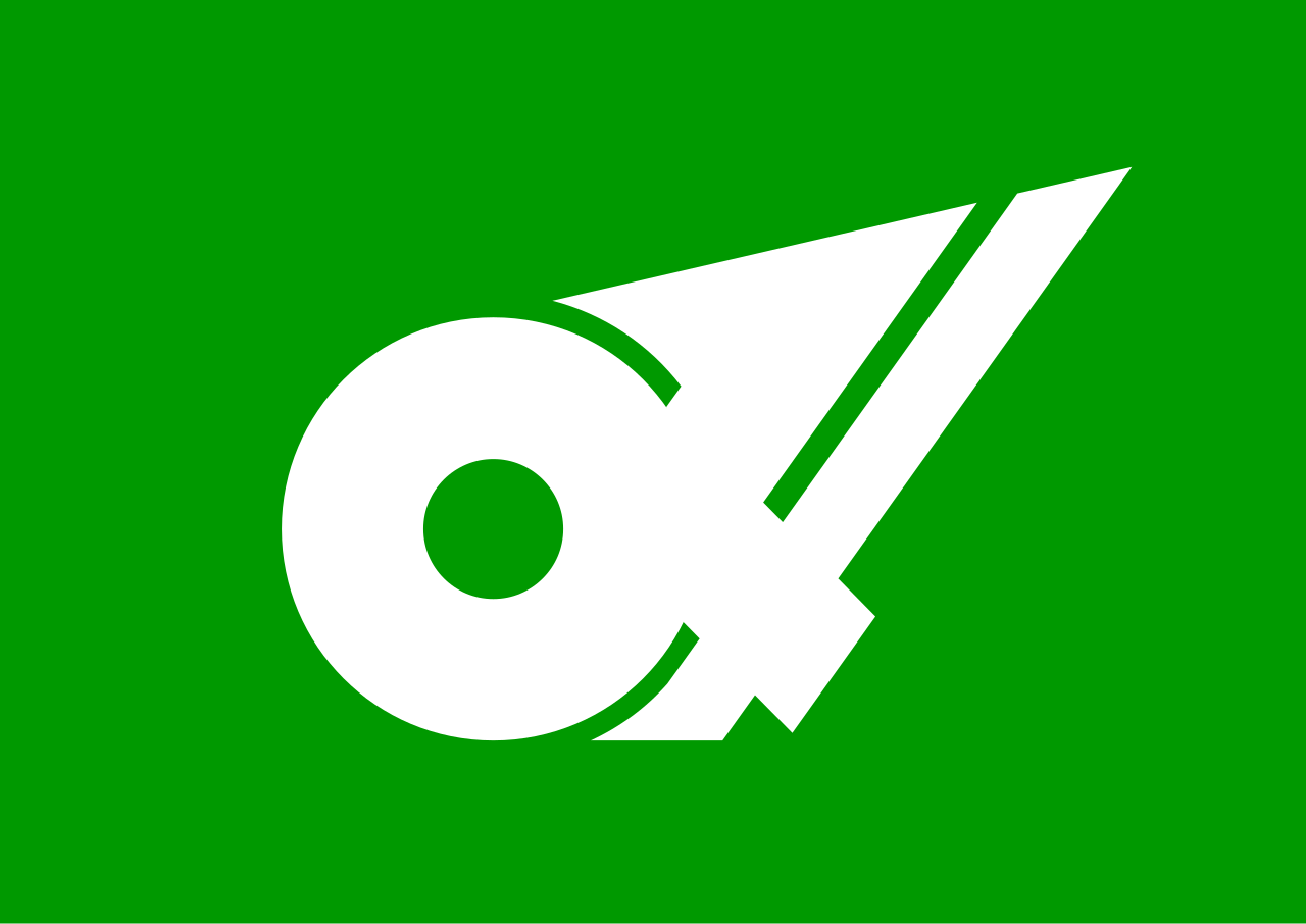
The flag of Mie was adopted on 16 September 1968. It features a green field with white stylized Hiragana character of Mi (み). The circular part of the symbol represents the pearls Mie produces.
| Capital City | Area | 2019 Population |
| Tsu | 5,774.41 km2 (2,229.51 sq mi) | 1,781,948 |
Japanese prefectural flag designs are used for educational purposes under fair use. Sources include public domain and freely licensed content.
