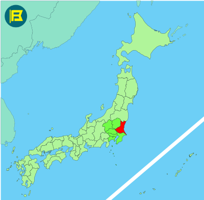
Ibaraki is located in the northeastern part of the Kantō region on Honshu, covering about 6,097 km². making it the 24th largest prefecture in Japan by area.
Ibaraki is bordered by Fukushima to the north, Tochigi to the west, Saitama and Chiba to the south, and the Pacific Ocean to the east. The Tone River forms most of its southern boundary and the northern coastline opens onto the Kashima and Hitachinaka areas.
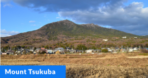
The capital is Mito, known for Kairakuen Garden, one of Japan’s three great landscape gardens. Other major cities include Tsukuba, Hitachi, and Tsukubamirai. The total population is about 2.8 million, making Ibaraki one of the more populous prefectures outside the Tokyo metropolitan core.
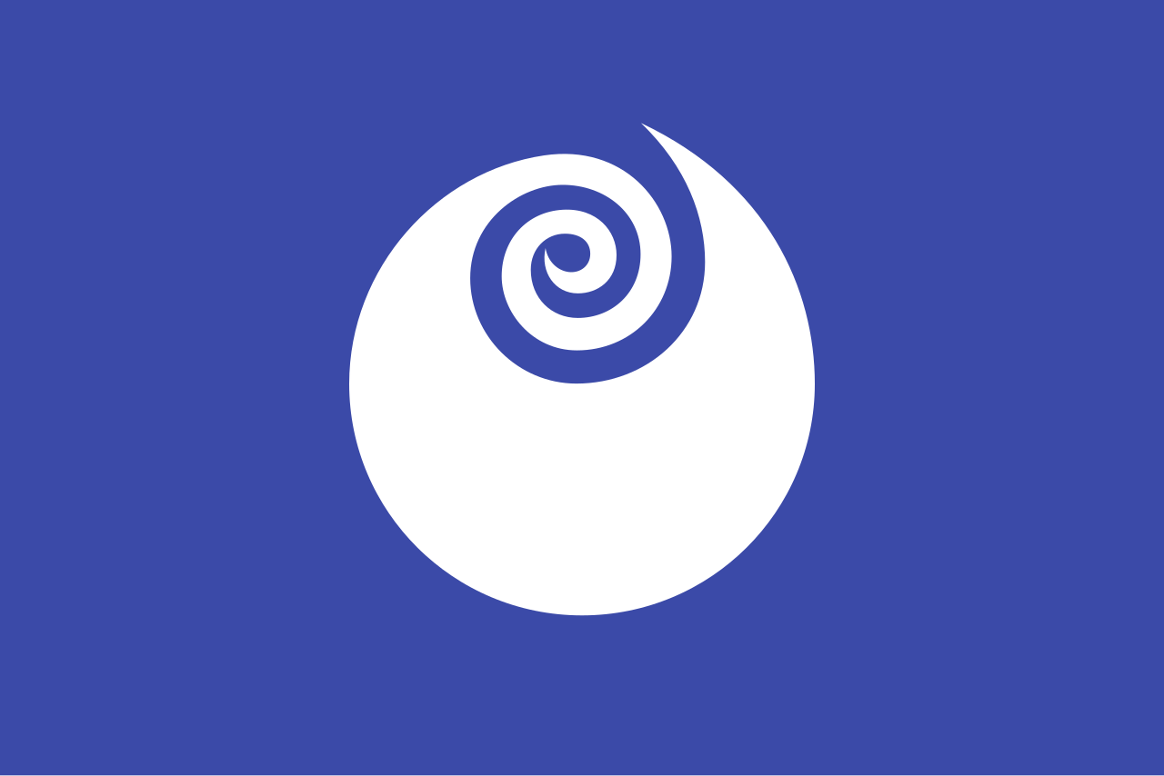
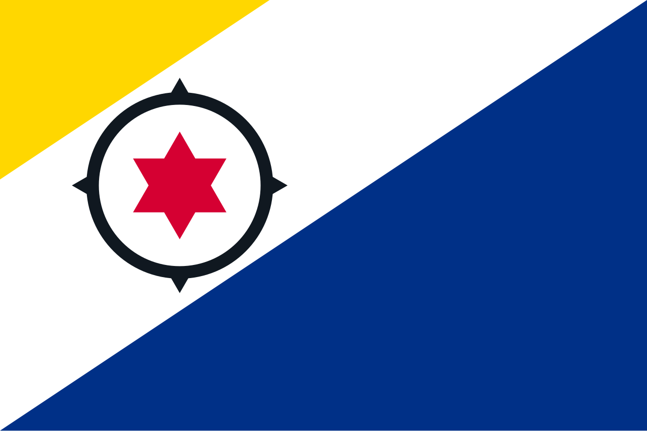
The flag of Ibaraki was adopted on November 13, 1966. It features a white stylized form of rose bud, the prefectural flower on a blue background representing the Pacific Ocean. The emblem also symbolises creativity and development.
| Capital City | Area | 2023 Population |
| Mito | 6,097.19 km2 (2,354.14 sq mi) | 2,828,086 |
Japanese prefectural flag designs are used for educational purposes under fair use. Sources include public domain and freely licensed content.
