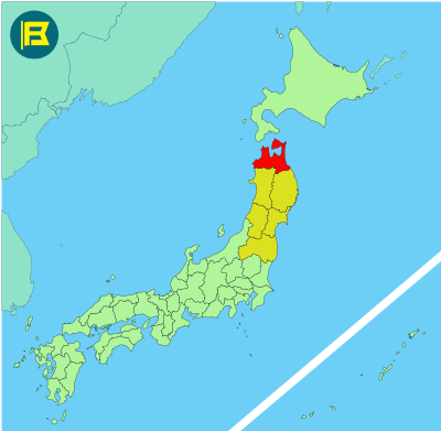
Aomori is the northernmost prefecture on Japan’s main island, Honshu, located in the Tohoku region. It covers an area of about 9,645 km², making it the 8th largest prefecture by land size.
Aomori is bordered by Akita Prefecture to the southwest, Iwate Prefecture to the southeast, the Sea of Japan to the west, and the Pacific Ocean to the east. Hokkaido is across the Tsugaru Strait to the north.
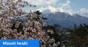
The capital is Aomori City, with other notable cities including Hirosaki, Hachinohe, and Towada. Known for its forested mountains and extensive coastline, the prefecture has a population of around 1.2 million, ranking 31st nationally.
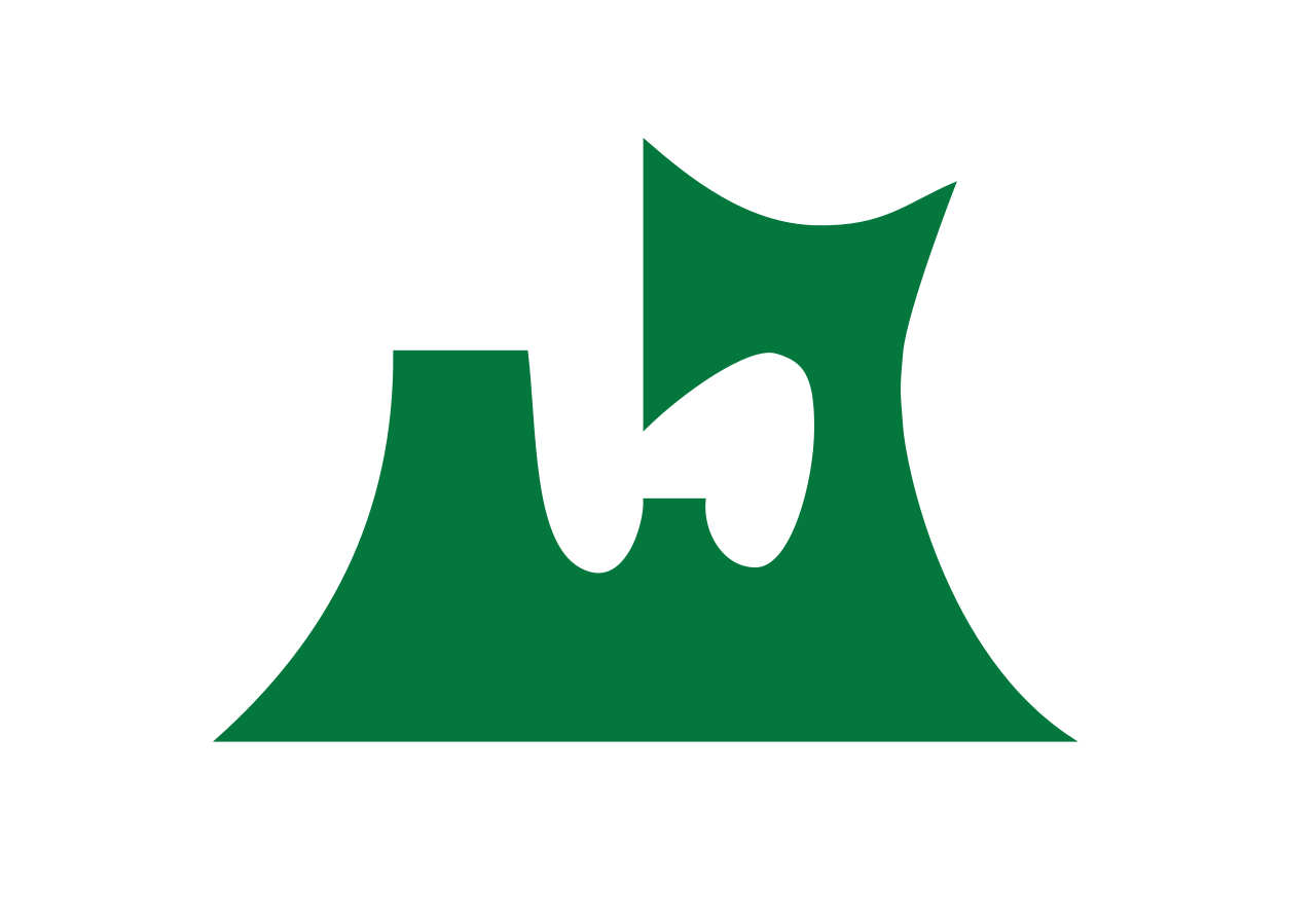
The flag of Aomori was adopted on January 1, 1961. It features a stylized green emblem representing a map of the outline of the prefecture. The green color represents hope for the future.
| Capital City | Area | 2023 Population |
| Aomori City | 9,645.64 km2 (3,724.20 sq mi) | 1,188,043 |
Japanese prefectural flag designs are used for educational purposes under fair use. Sources include public domain and freely licensed content.


