
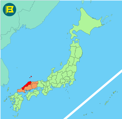
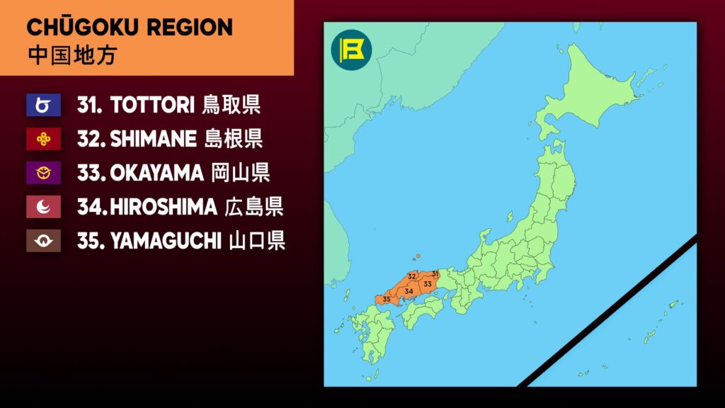
Shimane Prefecture is located in the Chūgoku region along the Sea of Japan, forming the western half of the San’in coast. It covers about 6,708 km, making it the 19th largest prefecture in Japan by area.
Shimane is bordered by Tottori Prefecture to the east, Hiroshima Prefecture to the south, and Yamaguchi Prefecture to the southwest. Offshore lies the Oki Islands, a group of volcanic islands that are also part of Shimane.
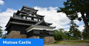
The capital is Matsue, known as the “City of Water” for its lakes, rivers, and canals, including Lake Shinji and Nakaumi. Other important cities include Izumo, home to Izumo Taisha, one of Japan’s oldest and most significant Shinto shrines, and Hamada, a port city on the Sea of Japan.
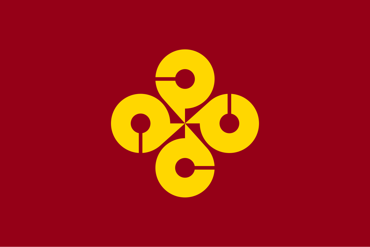
The flag of Shimane was adopted on 8 November 1968. It features a wine red field with four Gold stylized Katakana character of Ma (マ) of Shimane in a round formation representing unity.
| Capital City | Area | 2025 Population |
| Matsue | 6,708.26 km2 (2,590.07 sq mi) | 638,499 |
Japanese prefectural flag designs are used for educational purposes under fair use. Sources include public domain and freely licensed content.