
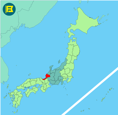
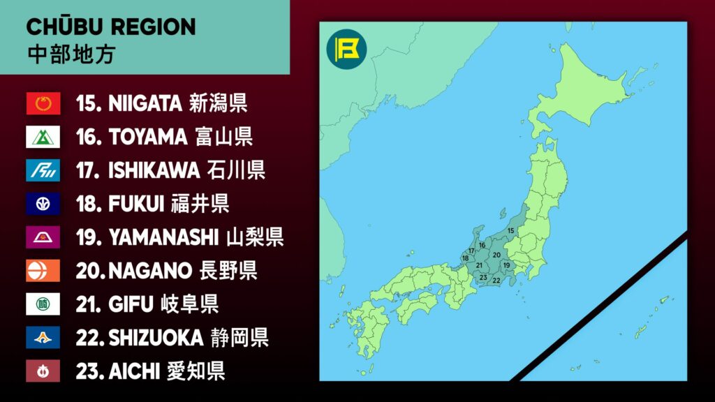
Fukui is located in the Chūbu region of Honshu, facing the Sea of Japan. It covers about 4,190 km², making it Japan’s 35th largest prefecture by area.
Fukui is bordered by Ishikawa to the north, Gifu to the east, Shiga to the south, and Kyoto to the southwest. The prefecture is long and narrow, stretching along the Echizen and Wakasa coasts.
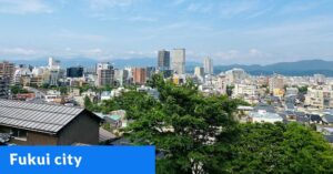
The capital is Fukui City, with a population of around 260,000. Other major cities include Tsuruga, Sabae, and Obama. The prefecture’s total population is approximately 750,000, making it one of Japan’s less populated prefectures.
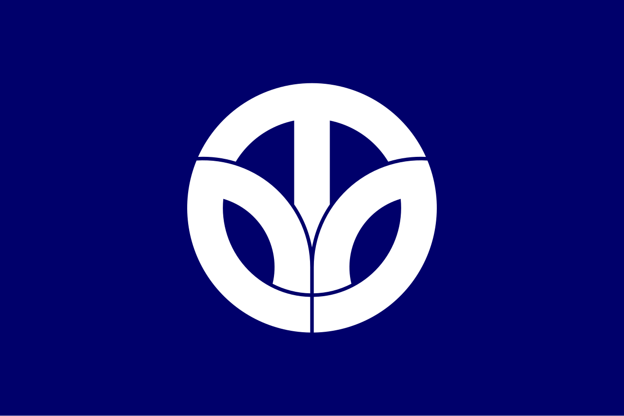
The flag of Fukui was adopted on November 6, 1967. It has a blue background with a white stylized form of the prefecture name in katakana (フクイ). The symbol forms a circular leaf-like shape symbolizing prefectural development.
| Capital City | Area | 2025 Population |
| Fukui City | 4,190.49 km2 (1,617.96 sq mi) | 736,855 |
Japanese prefectural flag designs are used for educational purposes under fair use. Sources include public domain and freely licensed content.