
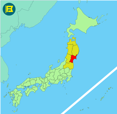
Miyagi is located on the Pacific coast of central Tohoku in northeastern Honshu. It covers an area of approx. 7,282 km², making it the 16th largest prefecture in Japan.
Miyagi is bordered by Iwate to the north, Yamagata to the west, and Fukushima to the south. The Pacific Ocean is to the east, with a coastline that includes the scenic Matsushima Bay.
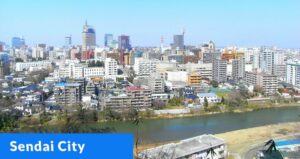
The capital and largest city is Sendai, a major regional center with a population of over 1 million. Other notable cities include Ishinomaki, Osaki, and Tagajo. With a total population of around 2.2 million, 24% of the prefecture is designated as Natural Parks.
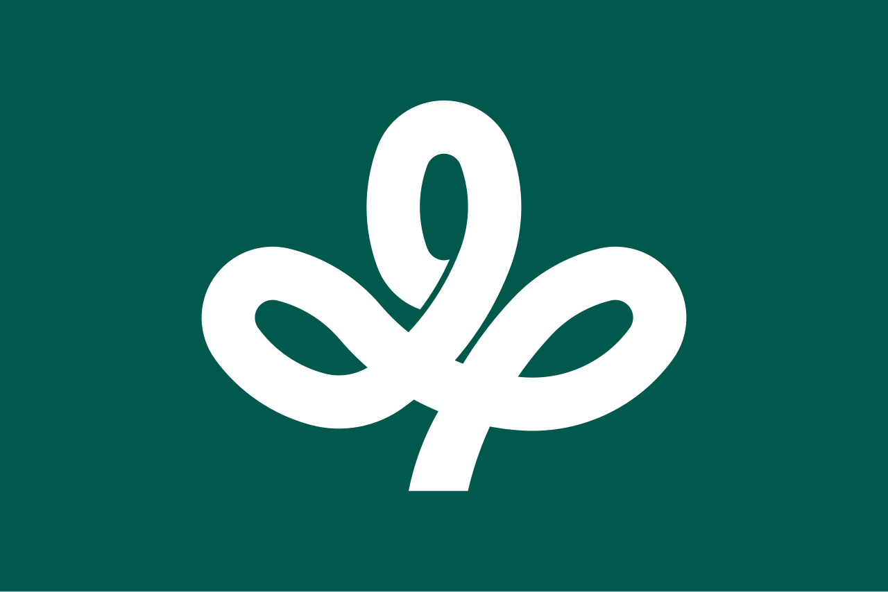
The flag was adopted on November 4, 1964. It features a dark green field with a white katakana symbol “み” (mi) for Miyagi, styled as a Miyagi bush clover, the prefectural flower.
| Capital City | Area | 2023 Population |
| Sendai | 7,282.22 km2 (2,811.68 sq mi) | 2,265,724 |
Japanese prefectural flag designs are used for educational purposes under fair use. Sources include public domain and freely licensed content.
